Overview
The coverage map report produces a map showing all the GPS data points recorded for one or more vehicles over a given period of time. The report is primarily intended to show where phone coverage is available.
Information required
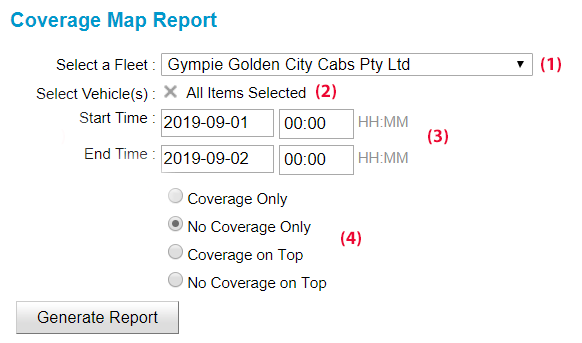
- Select the fleet (1).
- Select the vehicle(s) to be included in the report (2).
- Enter the start and end date/time for the report (3).
- Select the coverage you wish to view (4).
-
- Coverage Only – Only show points where the data has been collected in real-time. This shows where coverage is available.
- No Coverage Only – Only shows points where the data has been collected after the event. This indicates that the vehicle was not connected at the time and it may indicate there is no coverage.
- Coverage on Top – Show the data collected in real-time over other data.
- No Coverage On Top – Show data collected after the event over the other data.
Note that this map gives a broad indication of areas where coverage is available or may be a problem. There are a number of reasons why a data point may not be collected in real-time so some care needs to be taken when interpreting the data.
Report
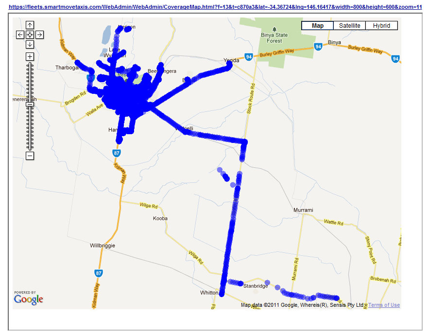
Note that the absence of data points does not mean there is no coverage at that point – it may simply mean that no car went to that point.